

IRIS INSTRUMENTS
These devices are very useful for imaging and monitoring the sides of dams and levees. The resulted images are called Electrical Resistivity Tomography (ERT) during use, induced polarization (chargeability property) is also recorded. The induced polarization (IP) method is an extension of the resistivity method providing, in addition to the electrical resistivity distribution, an additional property characterizing the ability of porous media to store electrical charges under. Both resistivity and induced polarization are active geoelectrical methods for which an electrical current is injected in the ground. The self-potential (SP) method is a passive geophysical technique for which we measure the electric field fluctuations generated by the flow of pore water in porous media. In other words, the source of current is inside the structure itself and its associated electrical field is measured remotely.
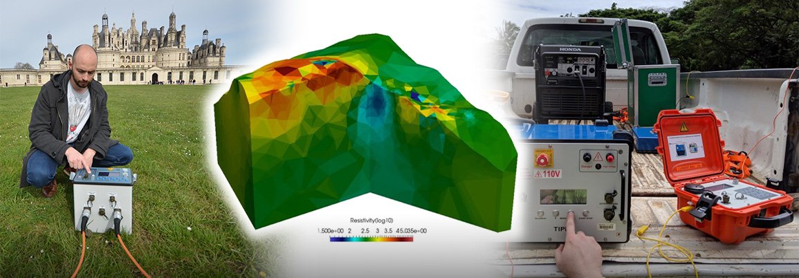
IRIS Instruments resistivimeters and electrical recorders are able to provide ERT, IP and SP information along boreholes, along 2D sections (even long) and in a 3D configuration.
The topography of dam areas and slopes also benefit from ERT, IP and SP imaging in three dimensions to predict potential landslides and related overtopping risks. IRIS Instruments equipment’s provide dimensional imaging for technicians and service providers for dam issue predictability and longer-term monitoring for remedial work.
Among the infrastructure that need specific attention, one can consider the tailing dams. The failure rate of tailings dams is estimated to be 10 to 100 times higher than the failure rate of other earthen dams. The risk of tailings dams’ failure is an issue as there is no standardised solution to avoid the disruptive impact on the environment, human activities, and human lives. The importance of tailings dam safety has been enhanced worldwide due to the recent failures that have occurred and the increased consciousness among society.
• Multi-channel electrical resistivity imaging (2D and 3D) to define the internal integrity of dams and locate potential points of failure
• Monitoring dam seepage, water saturation, piping and leakage paths
• 3-dimensional characterization and monitoring of dam slopes
• 2D and 3D imaging of lateral dam slopes to prevail potential landslide risk of over topped dams