

ROBERTSON GEO
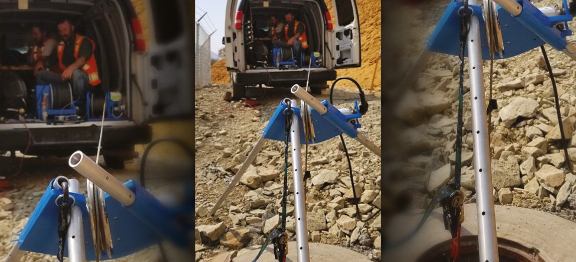
It was an extremely challenging site as we were working on a steep slope at the side of the dam. We deployed a highly portable system for the project, which comprised a Robertson Geo Micrologger2, Mini Winch, and Verticality Tool. The project aimed to secure the slope from a potential landslide to the power plant at the base of the dam, as the soils on one side of the dam are sliding slowly. We were contracted to install rockfall fences and movement and moisture monitoring devices underground in the slide area.
Boreholes were drilled perpendicular to the ground surface. Being on a slope meant the anchors varied from horizontal at every location and around 50 degrees on average. The probe was used to verify the azimuth of the hole for the build records, and to also verify the hole was completely vertical in whatever orientation needed. Meaning, we could have no more than one degree of deviation from the top to the bottom of the borehole. This showed the drill didn’t wander on its way down, and the finished borehole was within specification. The probe also verified hole depth. The instrumentation holes were up to 105 feet deep, and the fence anchors 28 feet.
Soil conditions led to the holes collapsing more than anticipated. It was also noted that the original dam plans in certain areas didn’t depict reality, leading to a very custom dam design.”
APEX Rockfall Mitigation, LLC
– Robertson Geo customer