

GEOMETRICS
The exact conditions and locations of these additional levees are unknown due to complex and varying local ownership. The USACE’s lack of information may indicate that the levees haven’t been evaluated for their hazard potential.
This is particularly alarming as, according to the Infrastructure Report Card (2021), nearly 97% of these levees consist of earthen embankments and are on average 50 years old. They protect 17 million people and property values in the trillions. The importance of evaluating and maintaining levee integrity becomes even more pressing as we move into the wet season.
There are many ways, both destructive and non-destructive, to evaluate levee conditions. A good way to start can be a cost and results effective non-invasive evaluation technique often used for investigating subsurface conditions.
The Geometrics’ Atom Wireless Seismograph is a non-invasive tool used to evaluate shear wave velocity of the soil. Because lower shear wave velocities generally correspond to lower density material, this technique could indicate areas of weakness. This information will give engineers an area to target for further investigation.
Using the right techniques and the right tools in the early stages of levee evaluation will lead to improved safety, while at the same time decreasing costs and downtime. The Dam Safety Group is here to provide the information and tools necessary for dam and levee investigation.
Contact Geometrics to learn more about the Atom-1C and Atom-3C seismographs and how they can be used to simplify your search.
References:
2021 Report Card for America’s Infrastructure
2021 Infrastructure Report Card
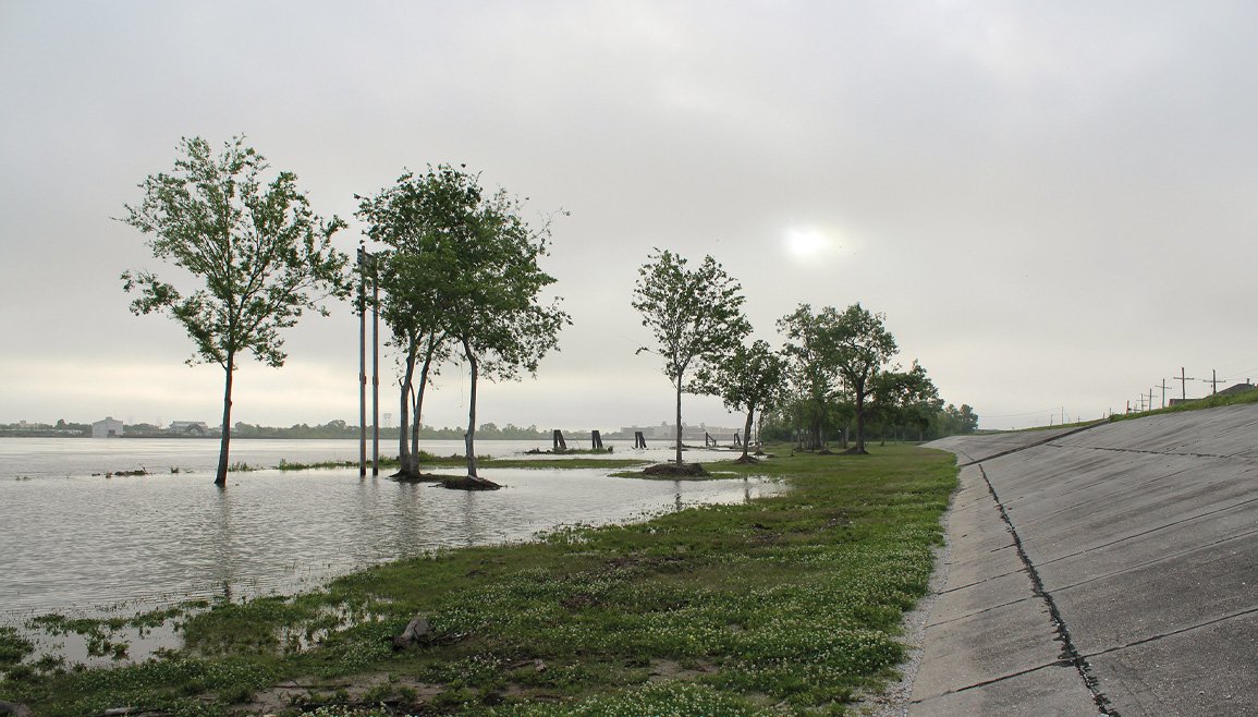
Image: Trees peak out of the mist as flood waters rise against the levees in New Orleans (Shutterstock).