Seismic Tomography | Geometrics

Geophysical Instruments for Dam Seismic Tomography

Market leading Geophysical solutions.

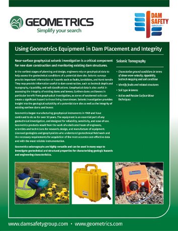
For over 50 years, Geometrics has been developing and manufacturing a range of geophysical instruments and software for use in land, air, and sea investigations. These innovative products are used throughout the world and on projects as varied as geotechnical evaluation, mineral exploration, environmental studies, archaeological investigations and UXO surveys.

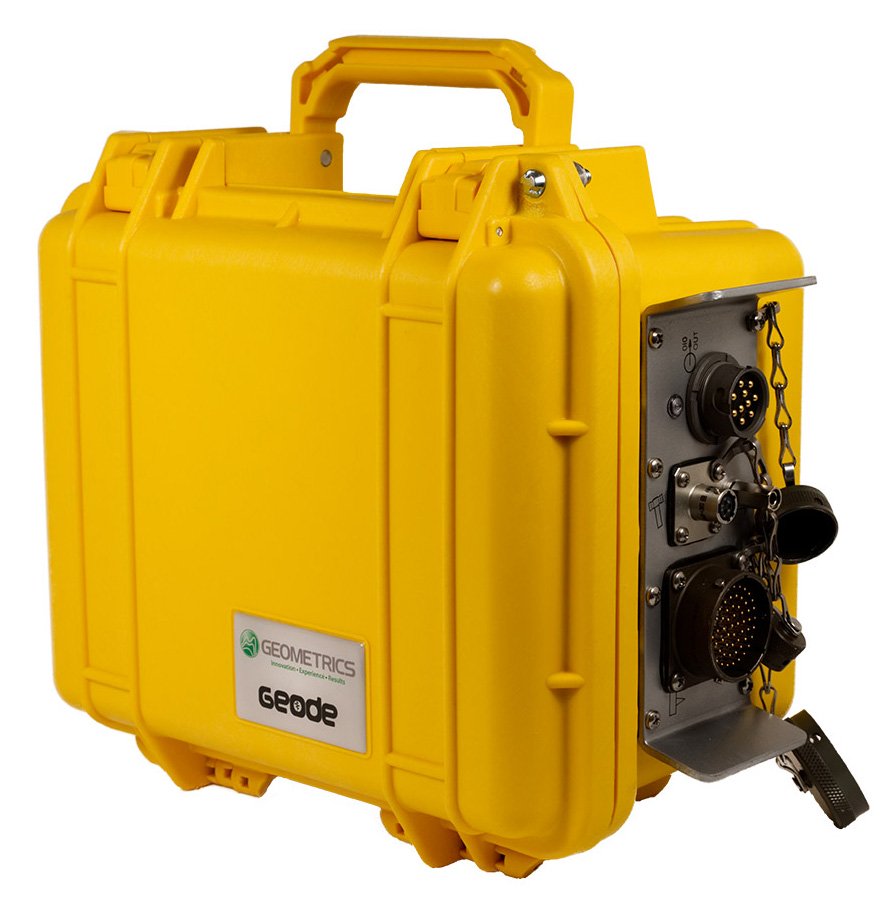
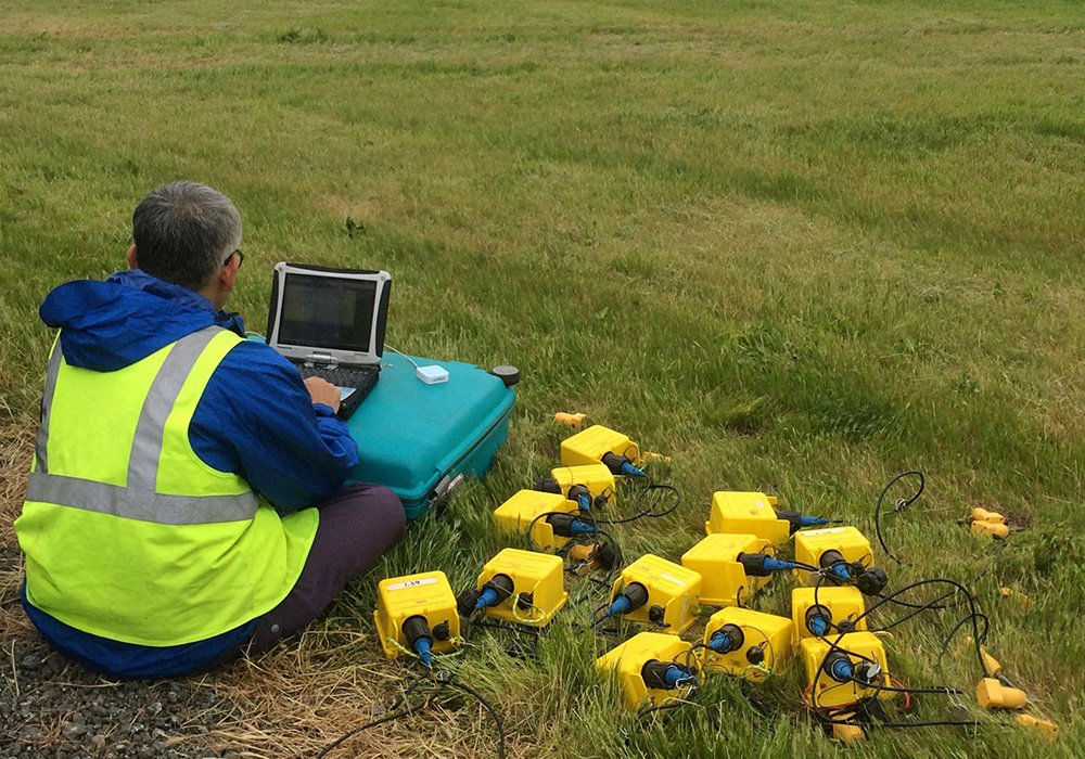
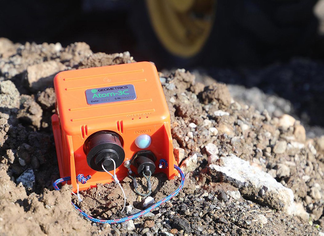
Geometrics develops reliable instruments known for accuracy, high data quality and durability in the field. The seismic products are an essential part of any subsurface investigation, especially critical infrastructure projects such as dam construction and monitoring. The traditional wired systems or the newest wireless Atom system can be deployed in almost any location for locating faults and to evaluate geotechnical and soil conditions.

Technologies

Characterize ground conditions in terms of shear wave velocity, rippability, bedrock mapping

and soil condition

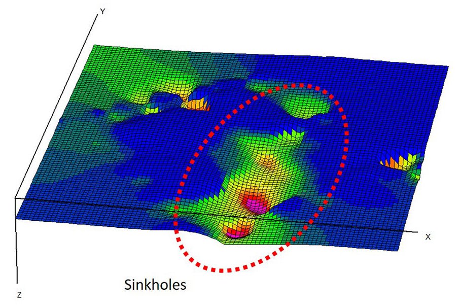
Identify faults and related structures

Soil type in levees

Active and Passive Surface Wave Techniques

Seismic Tomography Instruments
Seismic Tomography Products
Seismic Tomography for Dams
Seismic Tomography for Dam Monitoring

Latest news

Kinemetrics Implements KMIDam Platform at Bakun Dam in MalaysiaKinemetrics Implements KMIDam Platform at Bakun Dam in Malaysia

Catastrophic consequences result from dam failures due to earthquakes, making the reliable assessment of dam safety indispensable. Only with actionable information based on instrumental observation of structural behavior can operators make decisions confidently during seismic […]

Read more...
Investigating Artificial LeveesInvestigating Artificial Levees

Artificial levees are critical components in flood defenses. Structural defects in these levees can seriously compromise their effectiveness. In Hungary, where one-third of the country is protected by a 4,200 km long levee system, GSSI’s […]

Read more...
Why use Robertson Geo technology for Dam Safety?Why use Robertson Geo technology for Dam Safety?

The use of geophysical logging techniques for dam inspection and monitoring has long been recognised as critical for structural assessment over the life of a dam. Subsurface investigation provides detailed insight into the fabric and […]

Read more...
x