Iris Instruments | Dam Resistivity Imaging

Geophysical Instruments and Resistivity Imaging for Dams

IRIS Instruments - Global geophysical instrument manufacturer, Electrical resistivity tomography and monitoring for Dams.

IRIS Instruments was established in 1990 for the design, manufacture and supply of geophysical instruments enabling users to understand site characterization by bridging geophysics and digital with unmatched solutions that measure, process and interpret field data. IRIS trains field operators on proper measurement procedures, instruments use, data processing and interpretation with on-site training in every continent around the world.

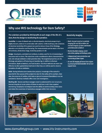
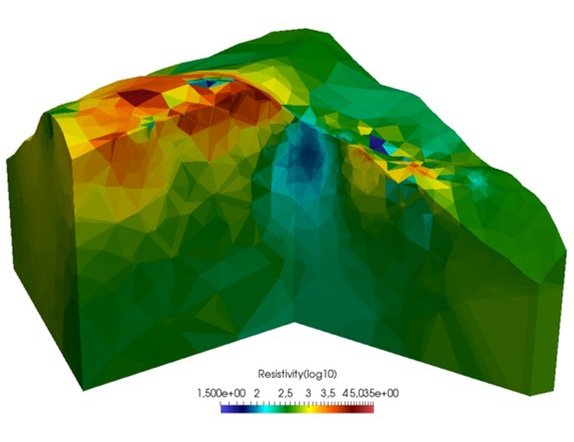
Owners and Dam technicians need to understand the dam structures internal integrity to locate points of failure in real time or with time acquired monitoring. The topography of dam areas and slopes benefit from resistivity and polarisation imaging in three dimensions to predict potential landslides and related overtopping risks. IRIS Instruments SYSCAL PRO Switch resistivity-meter & Full Waver Systems provide dimensional imaging for technicians and service providers for dam issue predictability and longer term monitoring for remedial work.

Technologies

Multi-channel electrical resistivity imaging (2D and 3D) to define the internal integrity of dams and locate

potential points of failure

Monitoring dam seepage, water saturation, piping and leakage paths

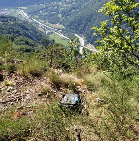
3D characterization and monitoring of dam slopes

2D and 3D imaging of lateral dam slopes to prevail potential landslide risk of over topped dams

Resistivity Imaging for Dams
Dam Integrity Imaging
Resistivity Imaging for Dams

Latest news

Kinemetrics Implements KMIDam Platform at Bakun Dam in MalaysiaKinemetrics Implements KMIDam Platform at Bakun Dam in Malaysia

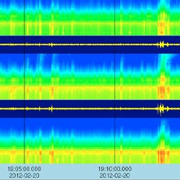
Catastrophic consequences result from dam failures due to earthquakes, making the reliable assessment of dam safety indispensable. Only with actionable information based on instrumental observation of structural behavior can operators make decisions confidently during seismic […]

Read more...
Investigating Artificial LeveesInvestigating Artificial Levees

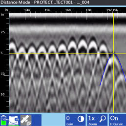
Artificial levees are critical components in flood defenses. Structural defects in these levees can seriously compromise their effectiveness. In Hungary, where one-third of the country is protected by a 4,200 km long levee system, GSSI’s […]

Read more...
Why use Robertson Geo technology for Dam Safety?Why use Robertson Geo technology for Dam Safety?

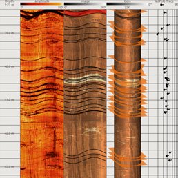
The use of geophysical logging techniques for dam inspection and monitoring has long been recognised as critical for structural assessment over the life of a dam. Subsurface investigation provides detailed insight into the fabric and […]

Read more...
x