

GEOMETRICS
In the earliest stages of planning and design, engineers rely on geophysical data to help assess the geotechnical conditions of a potential dam site. Seismic surveys provide important information on hazards such as faults, landslides, and Karst terrain They may provide information useful to dam construction, such as bedrock depth and topography, rippability, and soil classifications. Geophysical data is also useful in assessing the integrity of existing dams and levees. Earthen dams and levees in particular benefit from geophysical investigation, as zones of weakened soils can create a significant hazard to those living downstream. Seismic investigation provides insight into the geological suitability of a potential dam site as well as the integrity of existing earthen dams and levees.
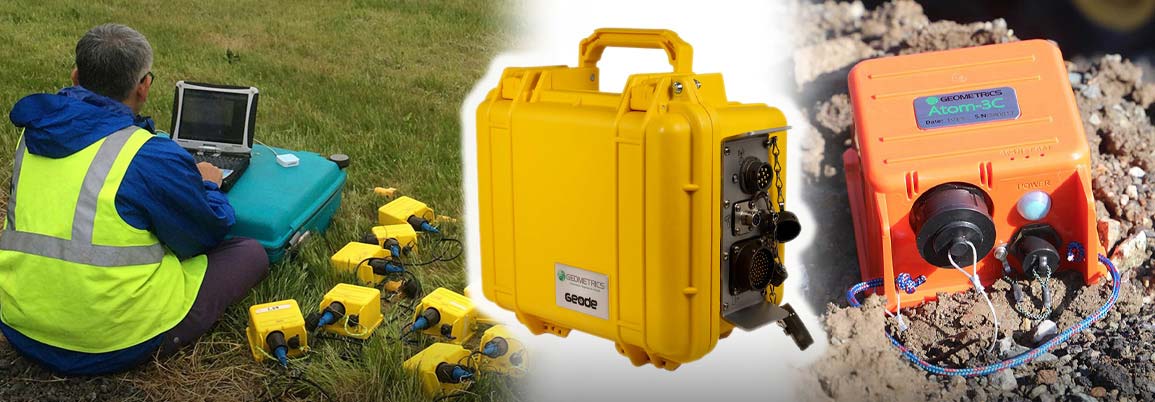
Geometrics began manufacturing geophysical instruments in 1969 and have continued to do so for over 50 years. The equipment is an essential part of any geotechnical investigation, and designed for reliability, sensitivity, and ease of use. Geometrics products result from the work of a dedicated team of engineers, scientists and technicians for research, design, and manufacture of equipment. Licensed geologists and geophysicists who understand geotechnical field work and the necessary requirements for acquisition of the most accurate cost-effective data and with the most reliable instrumentation.
• Characterize ground conditions in terms of shear wave velocity, rippability, bedrock mapping and soil condition
• Identify faults and related structures
• Soil type in levees
• Active and Passive Surface Wave Techniques