

GEOMETRICS
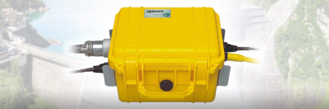
A Geometrics seismograph will provide value in several key areas.
Hazard Assessment: Feasibility studies include performing geophysical surveys to evaluate potential sites for hazards such as the presence and locations of and landslides. These surveys generally involve either or both seismic refraction and reflection surveys, both of which may be performed with the same Geometrics seismograph system. Acquiring quality data at this stage is essential for minimizing hazard and to ensure that geological conditions do not negatively impact the working life of the dam.
Design Engineers: require specific information about ground conditions before making foundation and structural design decisions. This information includes information about depth to bedrock, bedrock topography, and soil properties, all of which are obtainable from seismic surveys. Surveys such as this can provide data for large areas. As the project evolves, this broad-scale investigation can be used to guide more detailed investigation.
Construction: Ground conditions can change abruptly, so having the tools available to perform an immediate evaluation can be crucial for keeping the project on schedule.
Working Life: An operational dam requires regular assessment to ensure that it remains functional and safe. Dam safety can be affected by something as simple as a strong storm, so having methods to evaluate the structural integrity of a dam non-destructively, quickly, and effectively can add much value to any safety program. Physical changes such as slumping, leaking, piping, cracking, scouring, or even rodent activity can severely impact a dam. Stability failures within the dam my not be visible to inspectors and may only be determined using a geophysical method. For earthen levees, active and passive seismic methods allow engineers to identify low-density zones within the dam. Having this information early, before a failure occurs, could mean the difference between making a simple repair and having a catastrophic failure.
Upgrade/Replacement: The earlier an engineer recognizes a change in a dam’s integrity, the easier, safer, and less expensive it will be to fix the problem. Geophysical techniques can be used in a variety of ways to provide information useful for repairing, upgrading, or replacing a dam before failure occurs.